
This post (likely) contains affiliate links, including Amazon Associates links, and I may receive a small commission if you click one. This is at no extra cost to you.
The Tongariro Alpine Crossing is widely regarded as the best day hike you can do in New Zealand, and honestly, this was one of the best things I did on the North Island. It is a must-do if you are fairly active and want to see some of the most incredible landscapes you can imagine. Of course, it is not without its challenges, so this Tongariro Crossing Guide will tell you everything you need to know to ensure you are fully prepared for the hike.
I ended up completing the Tongariro Alpine Crossing twice, in varying conditions, so I feel I am qualified to share this experience in my Ultimate Tongariro Crossing Guide!
What is the Tongariro Crossing?
Located in the central region of the North Island, it is known to be New Zealand’s best one-day hike. This 19.4 KM hike takes you through some of the most dramatic and beautiful landscapes. It is challenging, but remarkable and so worth the effort.
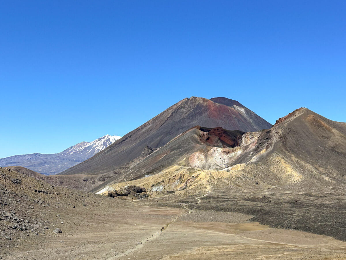
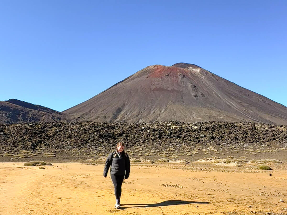
The hike goes right through the heart of Tongariro National Park, a dramatic volcanic landscape that feels like you’ve landed on another planet. Along the way, you’ll pass steaming vents, crater lakes, and rugged lava flows, all with mindblowing views that will stop you in your tracks. And if you’re a Lord of the Rings fan, this is where you’ll find Mount Ngauruhoe – otherwise known as Mount Doom. Standing beneath it feels like such a ‘pinch-me’ moment. It’s not just beautiful, though. This area holds deep significance for the Māori people, and walking here feels like a profound privilege.
If you’re planning to tackle it, this Tongariro Crossing guide has everything you need to know for an unforgettable adventure.
Why You Should Hike the Tongariro Crossing
The reward for completing this hike is immeasurable. The feeling of achievement alone as you reach the end is something special. But, more than that, you won’t want to miss what it has to offer. A challenge, a reward, and a spectacle of how stunning New Zealand’s landscape can be.
Plus, if you are a Lord of the Rings fan, hiking the Tongariro Crossing gives you a chance to see not only Mount Doom but also feel like you are Sam and Frodo walking through Middle-earth. A lot of the locations for Mordor were filmed in this area.
Tongariro Crossing Guide: Planning Your Hike
This section of the Tongariro Crossing guide highlights what you need to know before considering the Crossing.
When Is the Best Time to Hike the Tongariro Crossing?
The best time to embark on the Tongariro Crossing is during New Zealand’s summer months – from November to April. During this time of year, the weather is generally more stable, the days are longer, and the track is free of snow and ice, making it much safer and more enjoyable. During the Winter (May to October), the trail becomes more of an alpine route with snow and freezing conditions, and unless you’re an experienced hiker with the right gear or going with a guided tour, it’s not recommended.
Even in summer, the weather in Tongariro National Park can change rapidly – one minute it’s clear skies, and the next you’re walking through wind and mist. So always check the forecast before setting off and be prepared for all conditions.
How Long Does the Tongariro Alpine Crossing Take?
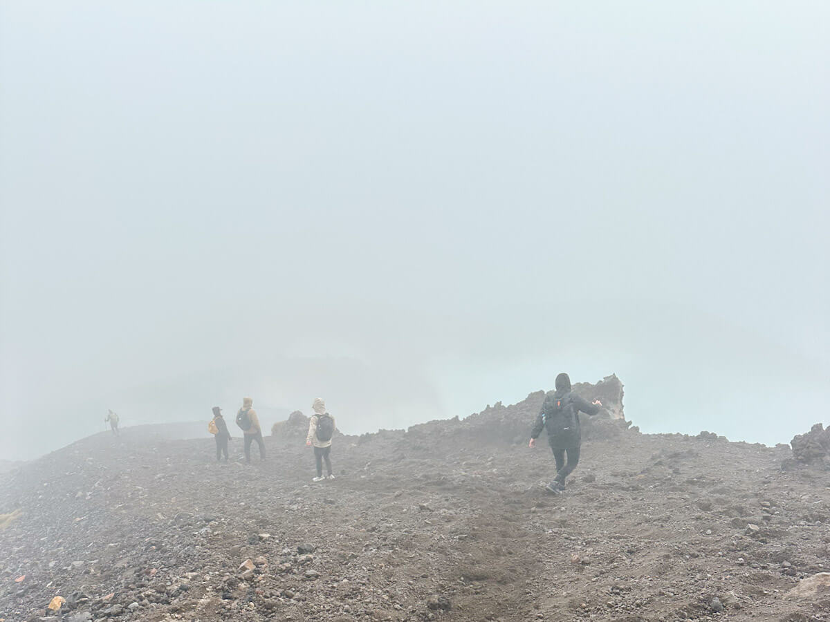
While the time it takes can vary depending on weather, fitness levels, and how often you stop, most hikers complete the Tongariro Crossing in around 6 to 7 hours. If the weather isn’t great, this time might be less. The first time I hiked the Tongariro Crossing, I did it in 5 and a half hours (with a very average level of fitness). This was mainly because it was too cold to want to stop, and all the scenery was covered in clouds, meaning there wasn’t much to stop for anyway!
On my second attempt, it took just under 7 hours. This was with lots of joyful photo stops and a lunch break.
How hard is the Tongariro Crossing? Do you need to be Fit?
This is, of course, one of the big concerns when embarking on hiking the Tongariro Crossing. It is challenging, but doable with a reasonable level of fitness. Approximately 12,500 people undertake this hike each year, which shows it is very possible!
There are some sections which are harder than others, particularly in the first half. So take your time, go as slow as you need, and you will be fine!
How to Get There – Tongariro Crossing Guide
There are certain logistics involved in getting to the start of the Tongariro Crossing. These need to be considered when planning your trip, and are mentioned in this Tongariro Crossing guide.
The Taupo Shuttle – Tongariro Crossing Guide
The most popular way to get to the start of the Tongariro Crossing is to get the shuttle from Taupo. As this is a one-way hike, it starts and ends in different places, making it logistically challenging to self-drive. The solution to this is to book a space on the Tongariro Crossing Shuttle. It picks you up from Taupo at an incredibly early hour (around 4 am) and drops you at the start of the Crossing.
Once you have completed the hike, you then get picked up at the other end to return to Taupo. It leaves at 3 pm. However, there are two shuttles, and once the first is full, it leaves. This does mean you have to ensure you complete the hike by then, but these timings give you 8 hours, which should be no issue.
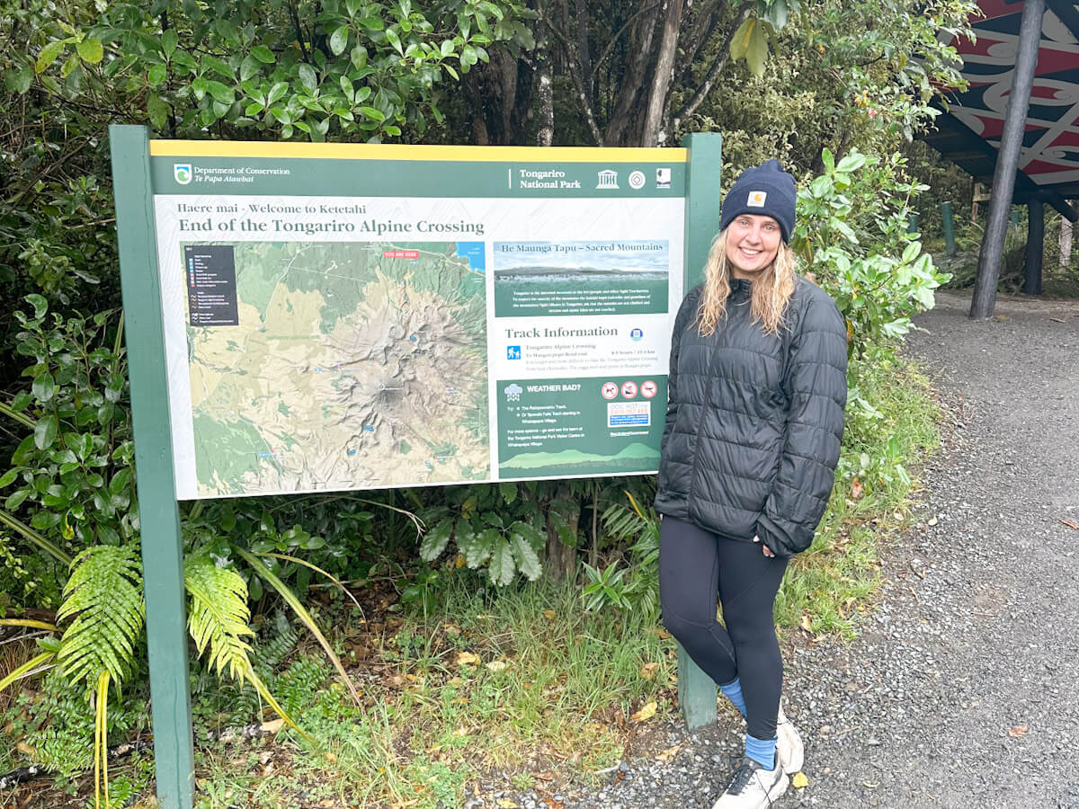
The shuttle is expensive; in 2025, it costs $130 NZD. It also gets booked up quite far in advance, so be sure to plan. For my second attempt, I had to join the waitlist, but despite a good weather forecast, I was accepted quite quickly. If the Crossing is closed due to bad weather, you won’t be charged.
Parking – Tongariro Crossing Guide
When it comes to parking for the Tongariro Crossing, things can get a little tricky. You can’t park at the Ketetahi (finish) car park for the full day as there’s a strict 4-hour parking limit, which isn’t nearly enough time to complete the hike. The Mangatepopo (start) car park also has limited spaces and restrictions during peak season.
However, there is a private Ketetahi car park just off SH46 near the trail’s end. Unlike the DOC-run spots, this one allows all‑day parking. You drive here in the morning, leave your car in a monitored lot, then catch a one-way shuttle to Mangatepopo and hike back. It’s the most hassle-free way to handle transport, and many shuttle providers include parking in their $60 NZD fare.
What to Pack – Tongariro Crossing Guide
You will want to pack as light as possible to save carrying a lot of heavy items. However, in this part of the Tongariro Crossing guide, there are some key items highlighted that are essential to bring with you.
Essential Items and Clothing
Walking Boots
You will need good, comfortable shoes with grip to tackle the Tongariro Crossing. I did both hikes in trail shoes, rather than hiking boots, and it was fine. Although I think having the ankle support that boots offer would have been helpful. The most important thing to ensure is that they are worn in!
Layers
Weather conditions can change quickly during the day and vary significantly across different parts of the track. Make sure you are wearing layers. Ideally, the material should be lightweight, breathable, moisture-wicking, and quick-drying. Either merino wool or synthetic fabrics (polyester/nylon).
Start with a thin, strap top style layer that you strip down to if you get hot. Add a thin long-sleeved top over the top. A merino top is perfect for this, as it is thin but cosy and also breathable. One such as this is perfect.
Waterproof Coat
Regardless of the weather, make sure to pack a waterproof jacket. The weather can change quickly during the hike, so it is best to be prepared. If it is a rainy day, it is going to be a long, wet walk – so make sure you are investing in a good quality one, such as this one.
Warm Coat
Again, even if it is looking sunny, trust me, it can get cold and windy at the peak of the hike. You might spend your day taking your coat on and off, but you are going to be pleased you have it at times. A lightweight, packable jacket is what you ideally want to bring. So it doesn’t take up too much space or weight when you are carrying it.
Accessories
The other items of clothing you will want to pack are a pair of gloves, a hat, and a buff. As you will be starting the hike early in the morning, the weather can be chilly as you set off. Likewise, as you reach the summit, it can be much cooler, and you will be so pleased you have these in your bag to whack on.
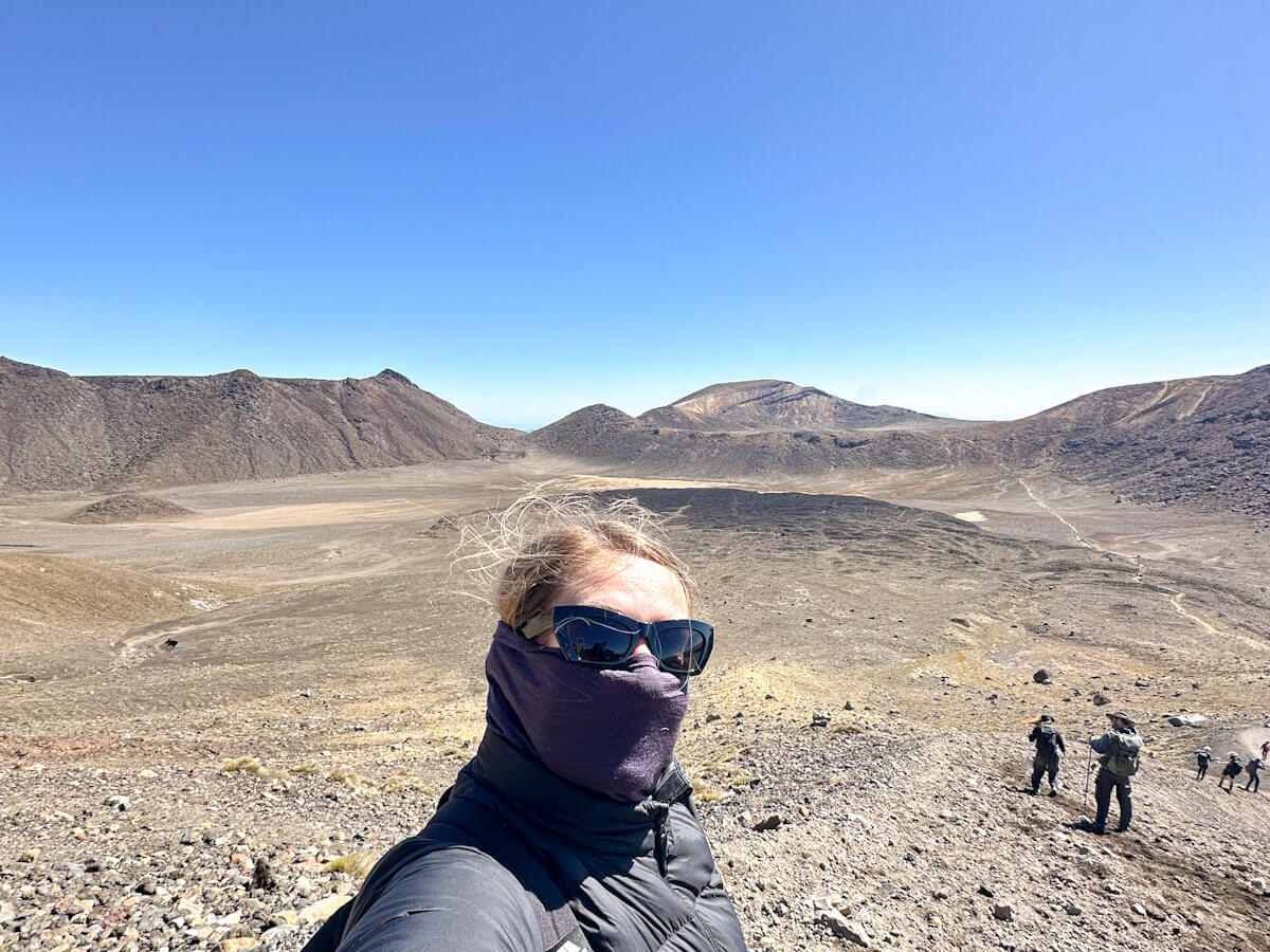
The buff was a game changer on the second day I hiked the Tongariro Crossing. It was so windy that this covered my face and prevented me from being whipped by the volcanic dust!
Sunglasses
Seems obvious, right? But they aren’t just useful for keeping the sun out of your eyes, but also for keeping volcanic ash out of them. It can get really windy, and big sunglasses can help protect your face.
Everything else
Don’t forget to pack sun cream. And reapply it multiple times. You are exposed to the elements up there and are going to be outside for a long time, so this is a must.
Make sure to bring some loo roll; there isn’t any in the toilets along the trail, so you will be grateful. Likewise, hand sanitiser.
Finally, a mobile and a power bank. The trail is very straightforward, and you aren’t likely to get lost, but you will want to have this for emergencies. Plus, of course, all the epic photos. And if you are taking a lot of photos, the battery will likely drain during the long day.
Food and Water Tips for a Full-Day Hike
Water
Bring a lot of water! There aren’t any places to fill up bottles along the route, and the route can get hot without any shade. Due to the nature of the hike, you will consume a lot during the day.
Snacks
Take quite a few with you, and make sure they are high-energy. Things such as nuts, dried fruit and protein bars. I also enjoyed some gummy snacks for that sugar hit!
Lunch
My top tip – bring two lunches. With the shuttle picking you up from Taupo at 4 am and the start of the route being fairly challenging, I had eaten my first lunch by 8:30 am. I was grateful to have my second sandwich ready to go when lunchtime finally arrived.
Tongariro Alpine Crossing Guide – The Route
A breakdown of the sections of the Tongarario Alpine Crossing and what to expect for each.
Mangatepopo Car Park to Soda Springs
The gentle start. (Approx. 1-1.5 hours)
Your adventure begins at the Mangatepopo car park. This initial section is relatively flat and well-paved, often featuring boardwalks over damp areas. It’s a great warm-up, allowing you to settle into your stride and take in the huge views of the Mangatepopo Valley with Mount Ngauruhoe appearing in the distance. You’ll pass steaming vents and see the unique volcanic terrain starting to appear.
Soda Springs to South Crater (The Devil’s Staircase)
The first major climb. (Approx. 40 minutes – 1 hour)
From Soda Springs, the track begins its most notorious ascent, which is famously called the “Devil’s Staircase.” Don’t let the name intimidate you too much. It is steep and challenging, but doable! This section is well-maintained with lots of steps. You’ll climb from approximately 1400m to 1600m, passing ancient and modern lava flows. This climb requires a lot of effort but rewards you with increasingly dramatic views as you gain elevation.
South Crater to Red Crater
Reaching the highest point. (Approx 1 hour)
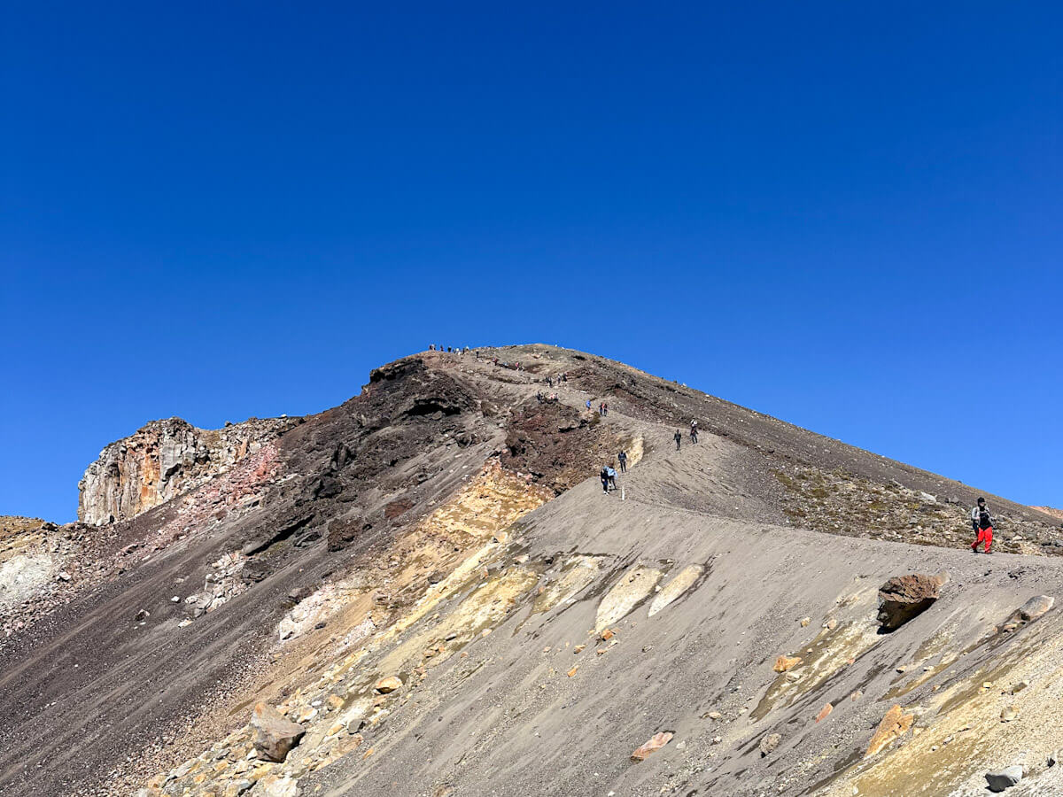
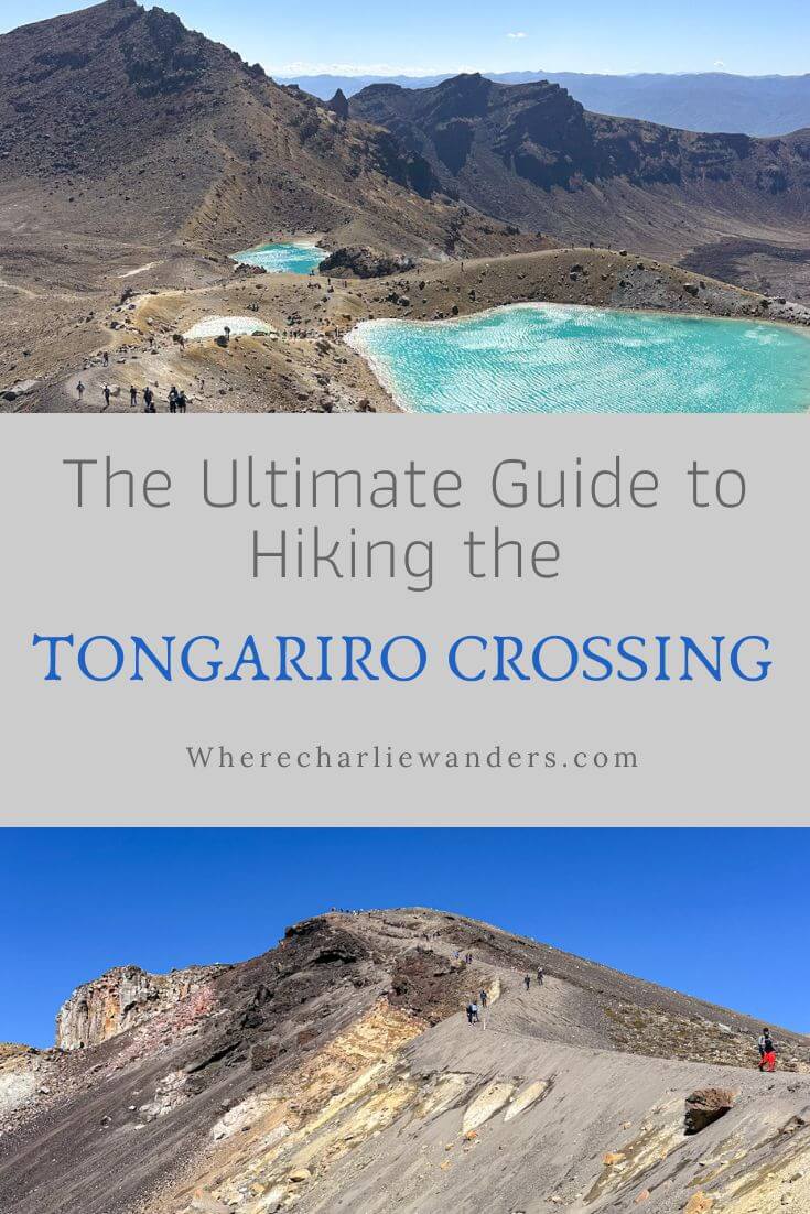
After the climb to South Crater, you’ll find a relatively flat, open expanse offering a brief relief after the climb. From here, the final push to Red Crater begins. This section is an exposed ridge, and while not as stepped as the Devil’s Staircase, it can be steep, and the ground underfoot can be loose. Reaching the rim of Red Crater, at 1868m (6128 ft), is the highest point of the crossing and offers incredible panoramic views across the Oturere Valley, Rangipo Desert, and Kaimanawa Ranges.
Red Crater Descent to Emerald Lakes
Iconic views and loose scoria. (Approx 30 minutes)
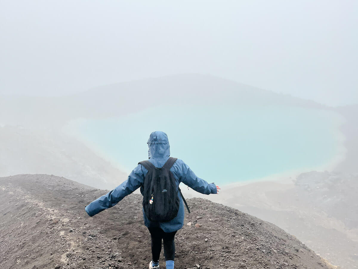
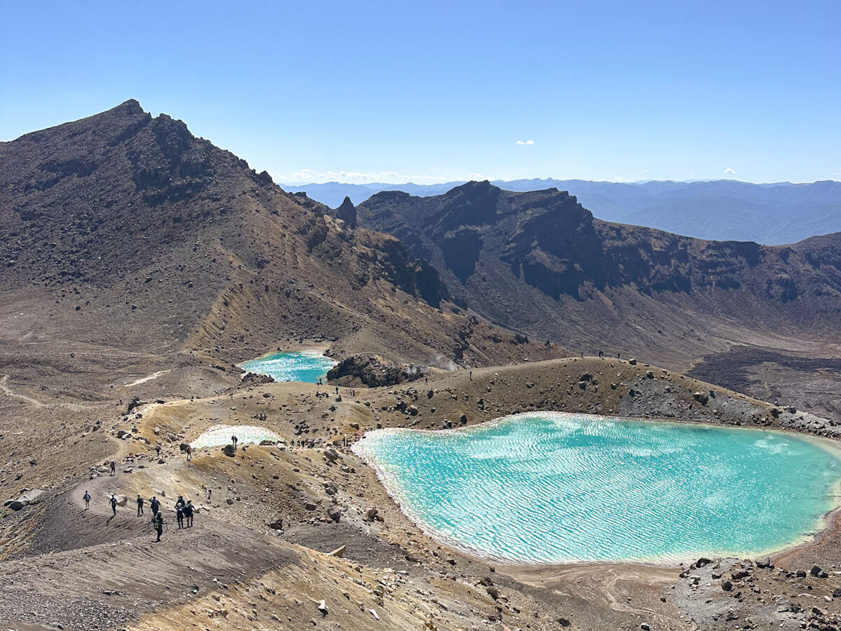
This is arguably the most iconic and visually stunning part of the crossing, but it also requires the most care. The descent from Red Crater to the Emerald Lakes is very steep and covered in loose, reddish scoria (volcanic rock). Take your time, dig your heels in, and consider using hiking poles for stability. Some people found it tricky, but I loved running down. Just go with it! The Emerald Lakes, with their striking turquoise and green hues, are a spectacular reward for the challenging descent, often accompanied by the smell of sulfur from nearby steam vents.
Emerald Lakes to Blue Lake
Sacred waters and stunning colours. (Approx 30 minutes)
After admiring the Emerald Lakes, the track continues around the edge of Central Crater before a short, easy climb to the tranquil Blue Lake. This cold, acidic lake is considered Tapu (sacred) by Māori, and visitors are asked to respect its cultural significance by not touching, entering, or eating and drinking around its shores. It offers a serene contrast to the more dramatic volcanic features you’ve just passed.
Blue Lake to Ketetahi Shelter Site
Descending through alpine tussock. (Approx. 1 hour)
From Blue Lake, the track begins a long, zigzagging descent. You’ll pass the site of the old Ketetahi Shelter (destroyed by volcanic activity in 2012) and traverse open tussock land. The views open up towards Mount Pihanga and Lake Rotoaira, and on a clear day, Lake Taupo in the distance. This section can be boggy in places, so stick to the marked path.
Ketetahi Shelter Site to Ketetahi Car Park
The final bushwalk. (Approx. 2 hours)
The final leg of the crossing takes you from the tussock lands into native bush. The track becomes steeper as it drops down to the Mangatetipua Stream. This part of the hike offers welcome shade, especially on a hot day, and a different kind of scenery as you walk through the forest. You’ll eventually emerge at the Ketetahi car park, where the shuttle will be waiting to take you back.
Safety Tips for Hiking – Tongariro Crossing Guide
Weather Warnings and Conditions to Watch For
It goes without saying, please listen and adhere to the advice given to you when it comes to the Tongariro Alpine Crossing.
The weather in this alpine environment is highly unpredictable and can turn dangerous without warning, even on a sunny day. Always check the mountain weather forecast before you go, as high winds can make the exposed ridges tricky, and clouds and fog can reduce visibility to almost nothing. Additionally, even light rain can make the track slippery, and a combination of wind and cold can quickly lead to hypothermia.
There is a point in the trail when you can turn back, but once you have passed this point, it will be quicker to carry on. The Shuttle drivers will give you advice, which is worth listening to. When I crossed for the first time, they said it was open, but it would be difficult. And they said if we wanted to return to Taupo, we could and get a full refund. In hindsight, it might have been a good idea to listen, but I was so determined to do it. Thought to myself, ‘how bad can it be?’. Turns out very. Hiked nearly 20KM and saw absolutely nothing.
My biggest tip is to wait for the good weather. The difference in experience was incomparable.
Guided Tours vs. Hiking Independently: Tongariro Crossing Guide
One of the most common questions asked is, Do you need a guide to hike the Tongariro Crossing? Honestly, the answer is no. The trail is well-marked, and there are plenty of other people doing it. So you will be absolutely fine doing it alone.
However, the biggest plus of hiking with a guide is that you will be with a group of people. If you are someone who wants company on a hike, then this would be a good option for you. It would also mean you wouldn’t have to book the shuttle from Taupo.
Top Tip: If you book a guide for the Crossing, such as this one, then you will get picked up and dropped off from the same location, making it easier for solo travellers
However, most people staying in Taupo will be contemplating doing the crossing, so you are almost guaranteed to meet someone in your accommodation to walk it with. Or, just get chatting to people on the shuttle, and you will have buddies to hike with!
Where to Stay Near the Tongariro Crossing
Taupo
The most popular choice for accommodation for the Tongariro Crossing is to stay in Taupo and get the shuttle. This gives you a good variety of accommodation options, plenty of places to eat, and lots of other activities. Try to factor in a few days to make the most of staying here, and not just using it as a base for the Crossing.
WHERE TO STAY IN TAUPO:
Budget – Finlay Jacks: An affordable hostel just a short walk from the lakefront, with private pod beds, dorm rooms and a garden courtyard.
Mid-range – Lakefront Lodge Taupō: Comfortable, modern motel-style accommodation right on the lakefront, with self-contained units and easy access to town.
High-end – Hilton Lake Taupō: A luxurious heritage hotel with lake views, a pool, on-site dining, and elegant rooms perfect for relaxing after the hike.
Tongariro Crossing Guide: Accommodation nearer the Tongariro Alpine Crossing
National Park Village is the closest town to the Tongariro Alpine Crossing and offers a range of accommodation suited to various budgets. Great options include:
- The Park Hotel Ruapehu – A comfortable mid-range stay with an on-site restaurant and spa pools.
- Plateau Lodge – Offers everything from dorm rooms to self-contained apartments, and shuttle services to the track.
- Adventure Lodge and Motel – A friendly, affordable base that’s popular with hikers and includes optional packed lunches and shuttles.
Further north, Turangi is about 40 minutes from the trailhead and ideal for those coming from Taupō. Recommended places include:
- Tongariro River Retreat – A cosy lodge-style stay with communal spaces and great access to Turangi’s cafes and river walks.
- Judges Pool Motel – Quiet, comfortable and well-equipped with self-contained units.
- Parklands Motor Lodge – Clean, spacious units set in a garden environment, with friendly service and local tips.
For something a little more upmarket or with a different vibe, Ohakune, on the southern side of the park, is another option:
- Ruapehu Country Lodge – A boutique B&B with beautiful views, gourmet breakfasts and peaceful surroundings.
- Snowman Lodge & Spa – A quirky, central spot with a spa, restaurant and alpine character.
- The Powderhorn Chateau – A stylish alpine hotel famous for where the crew of The Lord of the Rings stayed, with suites and a well-loved restaurant.
Wherever you decide to stay, check if they offer shuttle services to the Crossing. Many local lodges do, and it saves a lot of transport hassle on the day of your hike.
Tongariro Crossing Guide FAQs
To finish this Tongariro Crossing Guide, here are some frequently asked questions.
Can You Hike the Tongariro Crossing in Winter?
Technically, yes, but winter (May to October) conditions can be hazardous due to snow, ice, and alpine weather. You’ll need proper gear, experience in alpine hiking, or a guided tour to tackle the trail safely. If you aren’t an experienced hiker, it is strongly advised not to embark on the hike.
Do You Need a Permit for the Tongariro Alpine Crossing?
No permit is required for the Tongariro Crossing itself. However, you do need to register that you are embarking on the trail on the DOC website. You can find the form HERE. You will be asked at the beginning of the trail to show the completed form. They are using this information for safety and to track hikers on the trail. This information will also be used to determine if they implement permits to complete the Tongariro Crossing in the future.
Can you climb Mount Ngauruhoe and Mount Tongariro?
In 2017, the New Zealand Department of Conservation issued a formal request that visitors not climb the summits of Mount Ngauruhoe and Mount Tongariro because they are considered tapu (sacred) by the local Māori iwi. While climbing is not illegal, public land status prevents an outright ban; the signage to the summit has been removed, and rangers may engage hikers to reconsider if they attempt to approach the summit.
From a safety perspective, the terrain is steep, unstable volcanic scree, and more accidents occur, such as rockfalls and hypothermia, with very limited rescue access. Local hut wardens and experienced hikers consistently emphasise that climbing the peaks significantly increases danger and strain on rescue services.

Are Toilets Available Along the Trail?
Yes, there are several composting toilet facilities spaced out along the track, including at the start, halfway point, and near the finish, but make sure to bring your toilet paper just in case! Take a deep breath, and go for it!
Final Thoughts: Your Ultimate Tongariro Crossing Guide
Hiking the Tongariro Crossing is one of the most incredible and rewarding experiences you can undertake in New Zealand. It was one of the top highlights of the things I did in the North Island. Use this Tongariro Crossing Guide to make sure you are prepared and know what you are embarking on. And the reward, and the scenery, will blow you away.
Check out my other New Zealand posts:
- Things to do in New Zealand: the ultimate list
- 18 Best Things to See in North Island, New Zealand
- Lord of the Rings Filming Locations In New Zealand
- What to do in Taupo: the 18 Most Amazing Things
- Roys Peak Hike: Is it Worth it? And all you need to know
- Solo Travel in New Zealand: Campervan Diaries
- Visiting Hobbiton: Step Inside the Real Middle-earth in New Zealand
If you liked this Tongariro Crossing Guide, please pin it for later.


Discover more from Where Charlie Wanders
Subscribe to get the latest posts sent to your email.